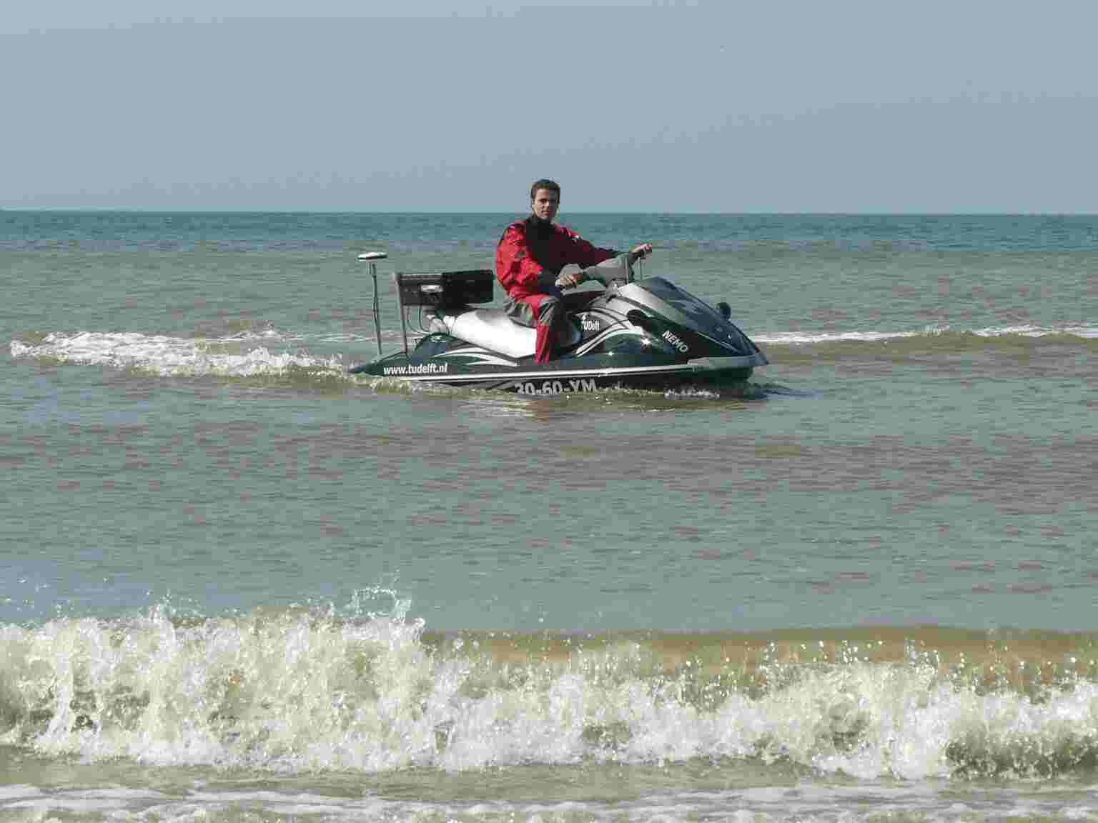
Here in action at Ter Heyde.
|
||
|
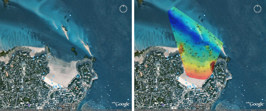
Measurement of nearshore bathymetry and nearshore bottom properties
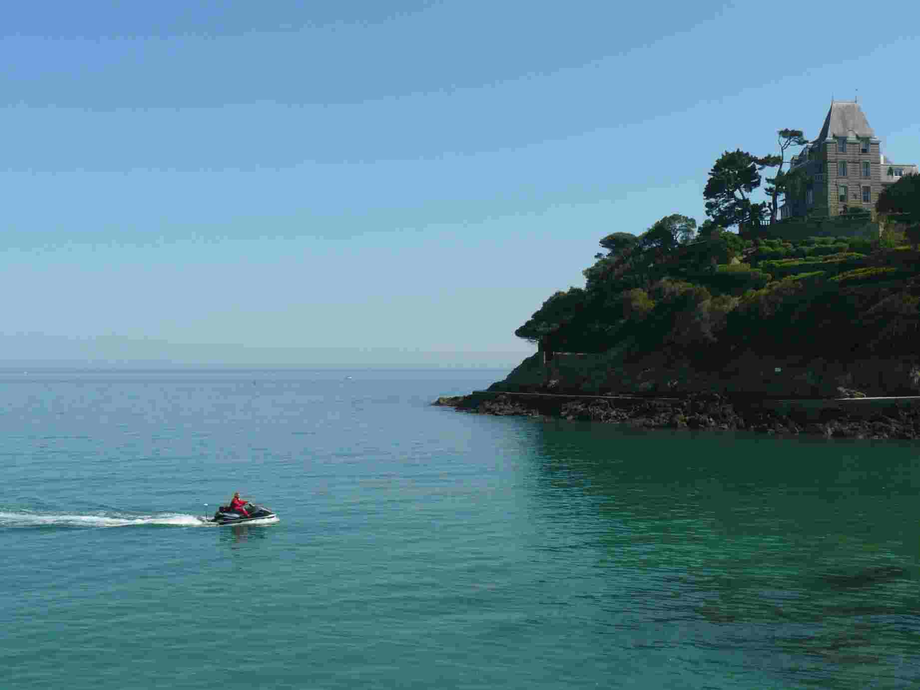
Here in action at Dinard Bay. NEMO measured bathymetry
|
|
|
||||
|
Measurement of nearshore bathymetry and nearshore bottom properties
Here in action at Ter Heyde.
|